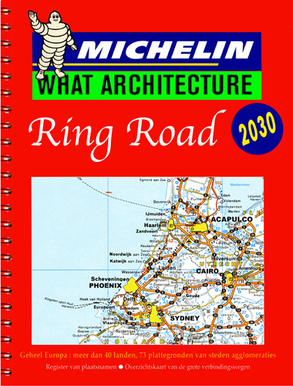
Rings and Roundabouts
| Program | TRANSPORT |
| Scale | 10000 sqm |
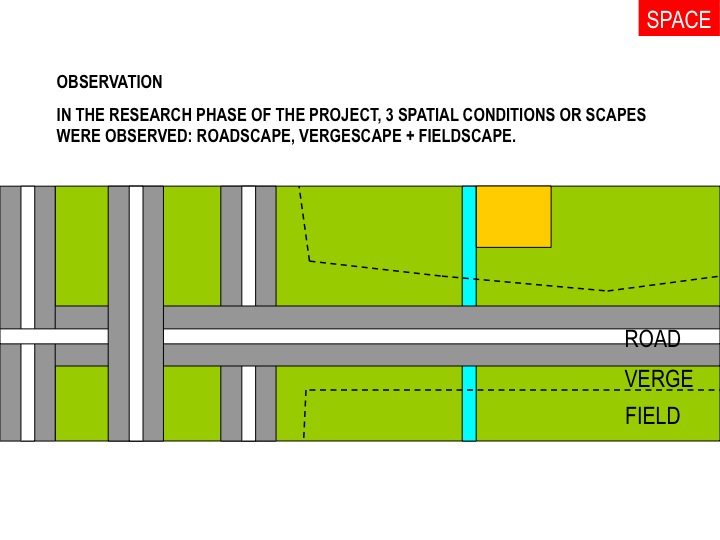
| Location | Dutch Roadsides - verges |
| Stage | Design |
| Client | Rijkwaterstad Netherlands |
| Budget | € 100000 |
| Design Year | 2000 |
This research publication was funded by the Dutch Water and Highways (RWS) and investigated ‘the verge’ as a potential development site for uses other than housing.
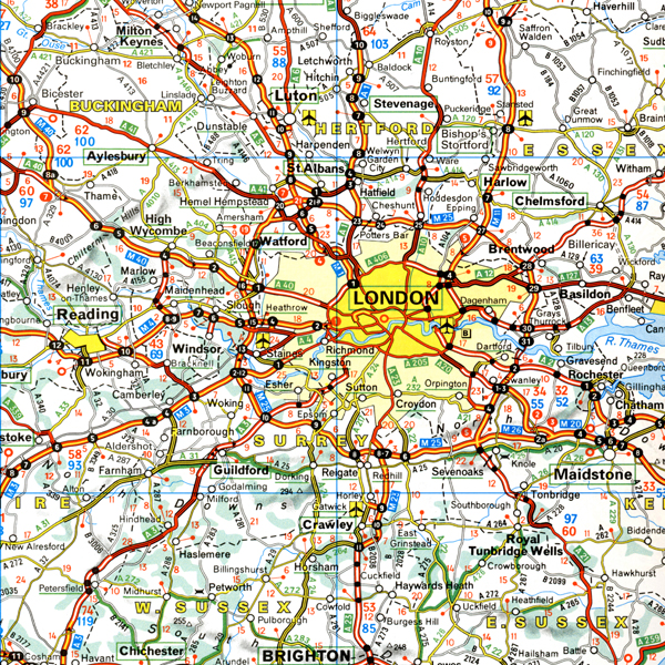
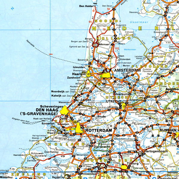
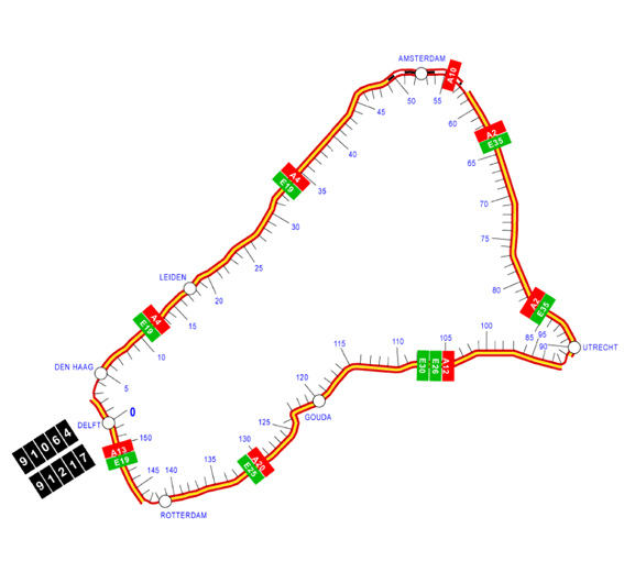
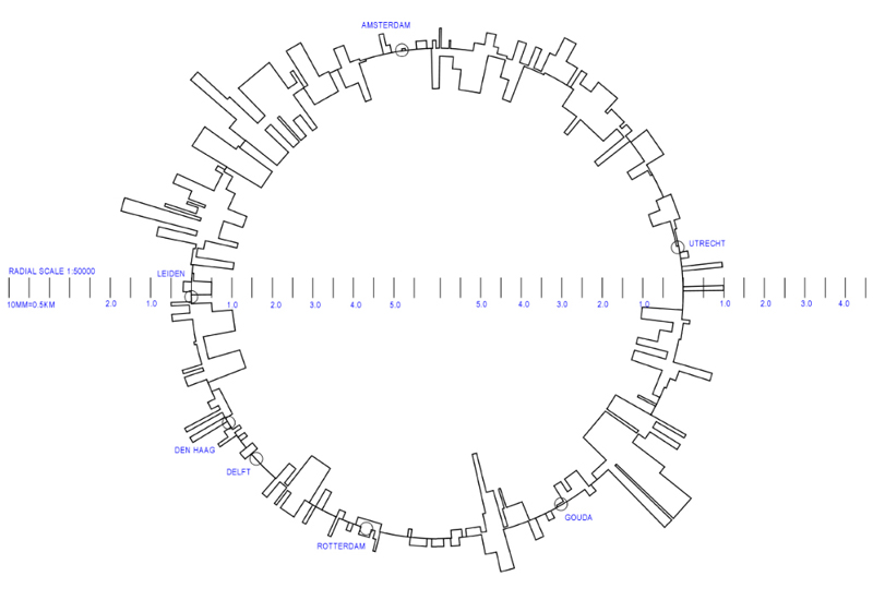
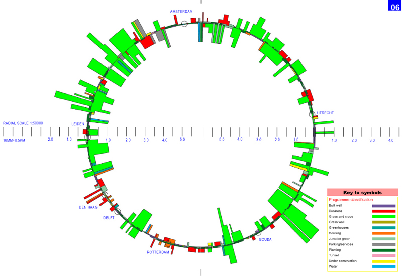
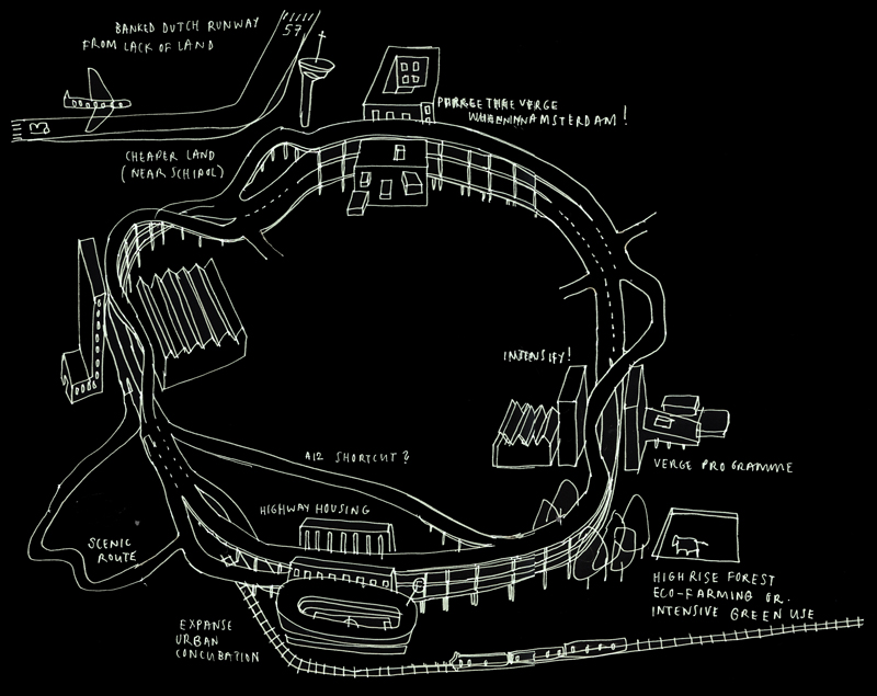
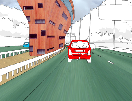
Ring roads ordinarily engulf a dense urban mass as with the M25 (London), the Boulevard Périphérique (Paris) and the Grande Raccordo Anulare (Rome). However in the case of the Randstad, the four Dutch cities of Amsterdam, Utrecht, Rotterdam and The Hague are connected by a ring road that connects Europe’s greatest population density yet has at its centre a landscape that is rural and sparse. This ‘green heart’ is today at risk from being criss-crossed by arterial routes that could transform the ring road into a gigantic 150km roundabout. A governmtent study was thus commissioned to investigate and understand the current scenario and to investigate the potential for future development around the ring road that would leave the rural fabric intact.
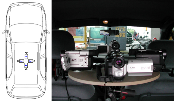
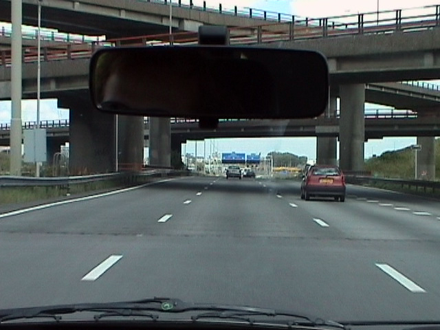
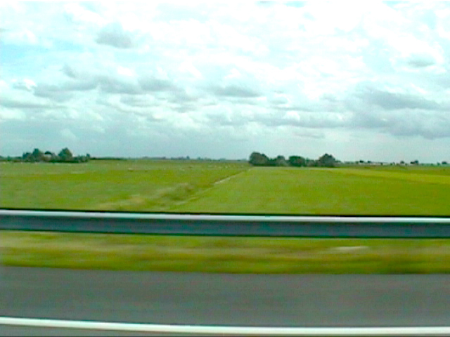
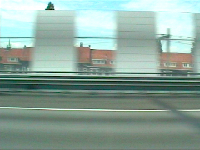
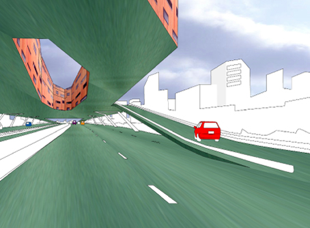
By using an innovative ‘carcam’ system – four synchronous digital movie cameras fixed to a central harness within a car – ‘landscape information’ as experienced by road users could be recorded for off-road analysis. This research created a database for which design proposals were triggered.


